
The U-Space Digital Twin
A prototype digital twin that ingests elevation, demographic, transportation, land-use and environmental data, used to prototype U-Space traffic management and to explore the impact of drone activity across the city.
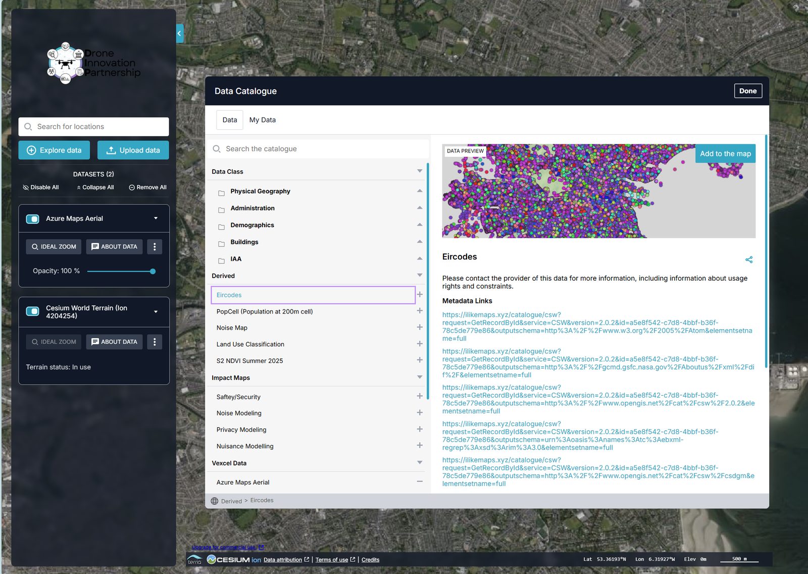
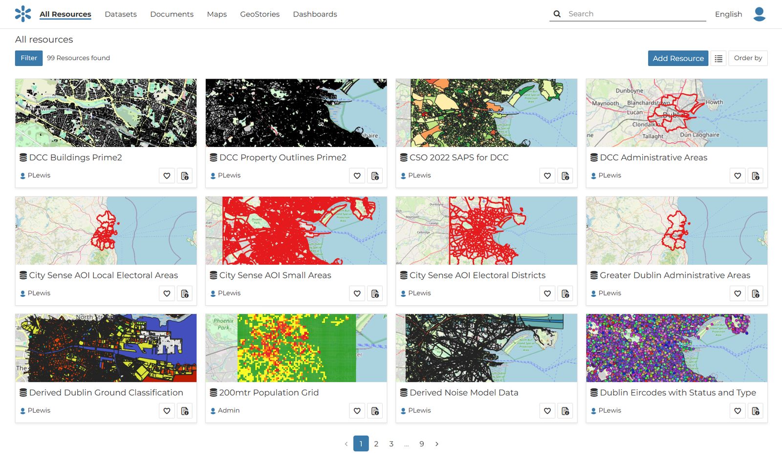
A catalogue of the city’s data
A cloud-based catalogue of datasets and derived datasets collated over urban Dublin, searchable and previewable on a map, and accessible to IAA and DCC.
Data preparation, modelling and consolidation are done once, then reused across the twin and the U-Space platform.
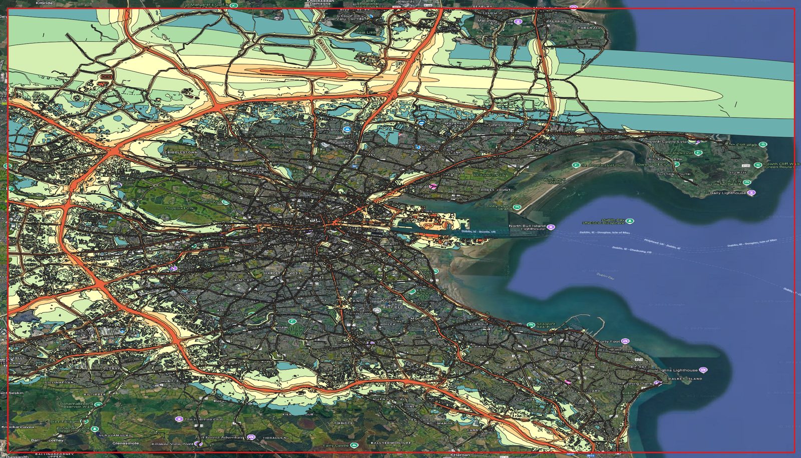
From raw data to usable models
Derived models, including noise and ground classification, help partners understand how drone activity may affect people and places across the city.
They also feed the assessment of flight routes and dock locations.
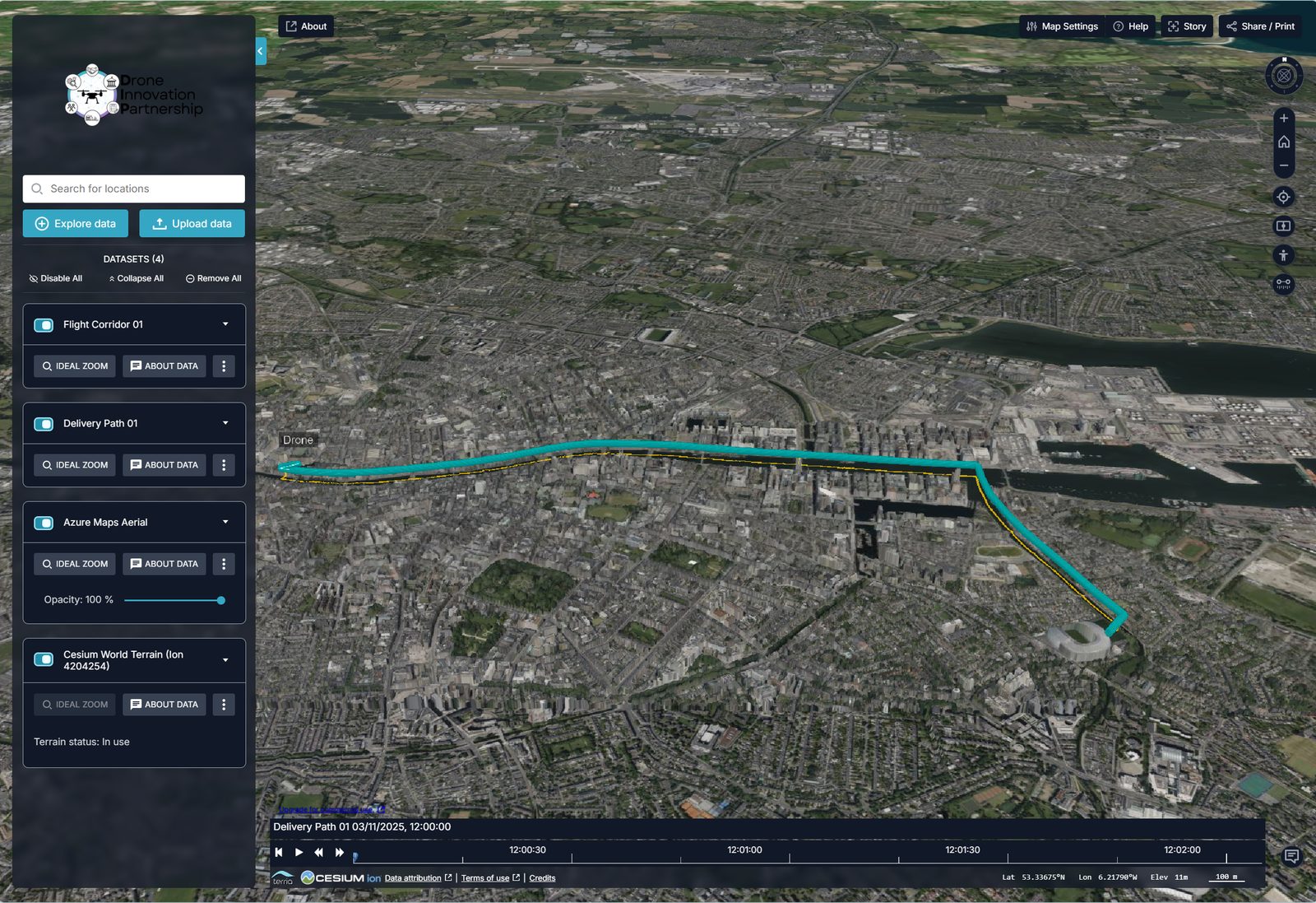
See flights in the city they fly over
An interactive 2.5D twin with map-layer control lets partners view planned flight routes, airspace and city data together in three dimensions.
In Phase 2 the twin is upgraded to real time, and live mission data is captured into it.
Four live data pipelines feed the twin
Traffic
Live road and city traffic data
Weather
Live weather observations
Airspace
Airspace and traffic information
Remote ID
Network identification of drones in flight
How the pieces connect
Operators
USSP
A certified U-Space Service Provider, to be procured, delivering the EASA U-Space services.
Common Information Services
A database plus API calls to push and pull U-Space service requests, responses and status reports, integrated with the USSP.
Digital Twin and dashboards
Real-time monitoring, governance and decision support for IAA and DCC.
A partner portal for the DIP platform
Partners will be able to log in to review missions, replay flights and access data through the live web app delivered in D1 and D2.